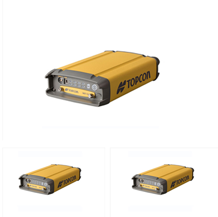
Nedo Corporation offers the Topcon NET-G5 GNSS System, an advanced and highly reliable solution designed to meet the demands of precision geospatial applications. This state-of-the-art GNSS receiver provides exceptional performance with its multi-frequency, multi-constellation tracking, delivering unparalleled accuracy for surveying, mapping, and construction projects. The NET-G5 ensures reliable, centimeter-level positioning, even in challenging environments such as urban canyons or dense foliage, thanks to its robust signal processing and RTK (Real-Time Kinematic) capabilities. Built with durability in mind, the system is engineered to withstand tough field conditions, offering both ruggedness and ease of use. Its seamless integration with a variety of software platforms and accessories enhances its versatility and efficiency. The Topcon NET-G5 GNSS System by Nedo Corporation is the perfect choice for professionals seeking high-precision, real-time positioning in a wide range of geospatial applications.

Topcon NET G5


